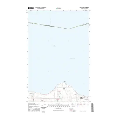
2017 Map of Angeles Point
USGS Topo · Published 2017About this map
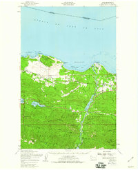
Angeles Point reaches into the Strait of Juan de Fuca along this coastal section of Clallam County, where the Elwha River meets the sea. The landscape is defined by the proximity of the Lower Elwha settlement and the western edge of Port Angeles. The map detail captures the interface between the maritime environment of Freshwater Bay and the industrial infrastructure of the William R Fairchild International Airport. Inland, the terrain is marked by the Elwha Rim Trl and various family or local road names like Charles Rd and Harry Rex Wy. Significant local history and genealogy points include the Ocean View Cem and the small residential footprint at Freshwater Park. This survey provides a precise look at the northern Olympic Peninsula's coastline before subsequent shifts in river morphology and coastal development.
Find a feature on this map
31 named features on this map. Tap any name to fly to it.
Don’t see what you’re looking for? This feature index may not catch every label — zoom into the map to look around manually.
Map Details
Editions of this 2017 Angeles Point Map
This is the sole edition of this map. No revisions or reprints were ever made.
Other maps of this area

1918 · Port Angeles
USGS Topo · 1:62,500

1919 · Port Crescent
USGS Topo · 1:62,500

1941 · Port Angeles
USGS Topo · 1:62,500

1950 · Elwha
USGS Topo · 1:24,000

1950 · Ediz Hook
USGS Topo · 1:24,000

1950 · Lake Sutherland
USGS Topo · 1:24,000
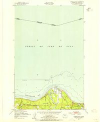
1950 · Angeles Point
USGS Topo · 1:24,000
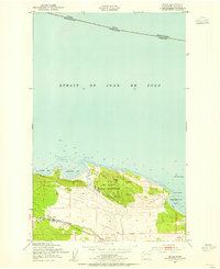
1950 · Joyce
USGS Topo · 1:24,000
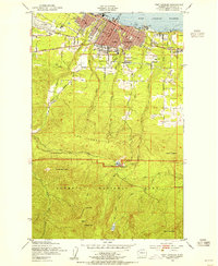
1950 · Port Angeles
USGS Topo · 1:24,000
1950 · Joyce
USGS Topo · 1:62,500