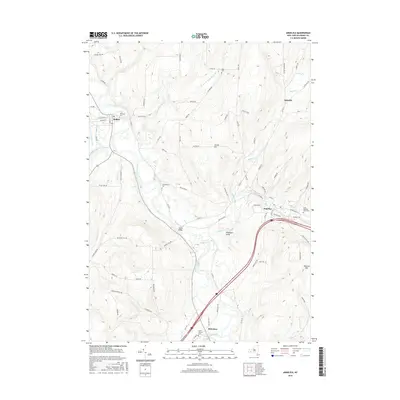
2016 Map of Angelica
USGS Topo · Published 2016About this map
The Genesee River valley dominates this Allegany County landscape, where the historical footprint of the Genesee Canal remains visible near the settlement of Belfast. This modern survey documents a rural New York region defined by its watercourses and small upland communities. The village of Angelica sits as a central hub, surrounded by several historically significant burial grounds including the uniquely named Until The Day Dawn Cem and Christ Church Cem. The topography is marked by distinctive features like Nineteen Gully and Jacobs Hill, while the local transport network relies on older routes such as Old State Rd and the junction at Transit Bridge. The map provides a clear record of land use, from the bottomlands near Van Campen Creek to the remote crossroads of Aristotle.
Find a feature on this map
85 named features on this map. Tap any name to fly to it.
Don’t see what you’re looking for? This feature index may not catch every label — zoom into the map to look around manually.
Map Details
Editions of this 2016 Angelica Map
This is the sole edition of this map. No revisions or reprints were ever made.
Other maps of this area

1906 · Angelica
USGS Topo · 1:62,500

1916 · Canaseraga
USGS Topo · 1:62,500

1925 · Belmont
USGS Topo · 1:62,500

1926 · Wellsville
USGS Topo · 1:62,500

1939 · Belmont
USGS Topo · 1:62,500

1940 · Canaseraga
USGS Topo · 1:62,500

1941 · Angelica
USGS Topo · 1:62,500

1950 · Elmira
USGS Topo · 1:250,000

1958 · Elmira
USGS Topo · 1:250,000

1960 · Buffalo
USGS Topo · 1:250,000