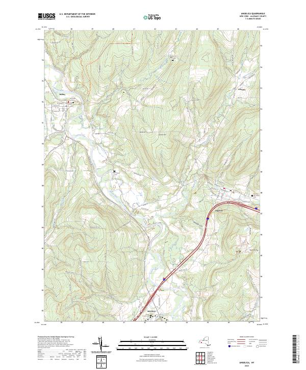
2023 Map of Angelica
USGS Topo · Published 2023About this map
The Genesee River valley dominates this Allegany County landscape, serving as the historical spine for early transport and settlement. Evidence of the region's 19th-century infrastructure remains visible through the alignment of the Genesee Valley Canal, which once connected the Erie Canal to the Allegheny River. The village of Angelica stands as a primary hub, surrounded by smaller communities like Belfast, Belvidere, and the interestingly named Aristotle.
Find a feature on this map
91 named features on this map. Tap any name to fly to it.
Don’t see what you’re looking for? This feature index may not catch every label — zoom into the map to look around manually.
Map Details
Editions of this 2023 Angelica Map
This is the sole edition of this map. No revisions or reprints were ever made.
Other maps of this area

1906 · Angelica
USGS Topo · 1:62,500

1916 · Canaseraga
USGS Topo · 1:62,500

1925 · Belmont
USGS Topo · 1:62,500

1926 · Wellsville
USGS Topo · 1:62,500

1939 · Belmont
USGS Topo · 1:62,500

1940 · Canaseraga
USGS Topo · 1:62,500

1941 · Angelica
USGS Topo · 1:62,500

1950 · Elmira
USGS Topo · 1:250,000

1958 · Elmira
USGS Topo · 1:250,000

1960 · Buffalo
USGS Topo · 1:250,000