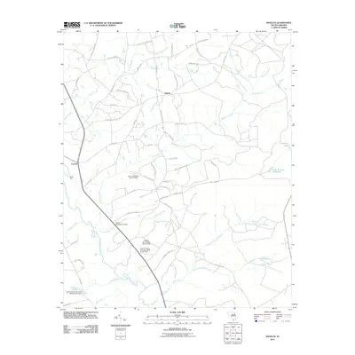
2011 Map of Angelus
USGS Topo · Published 2011About this map
Angelus and Catarrh serve as the primary hubs in this rural landscape, which is defined by an intricate network of waterways draining toward the Lynches River. The terrain is characterized by numerous small impoundments and wetlands, including Hamburg Lake, Hortons Pond, and Lake James, alongside several engineered structures like the Herb Leard Pond Dam and Kirley Pond Dam. These water features highlight the importance of water management in the region's agricultural and residential history.
Find a feature on this map
65 named features on this map. Tap any name to fly to it.
Don’t see what you’re looking for? This feature index may not catch every label — zoom into the map to look around manually.
Map Details
Editions of this 2011 Angelus Map
This is the sole edition of this map. No revisions or reprints were ever made.
Other maps of this area

1941 · Spartanburg
USGS Topo · 1:250,000

1953 · Spartanburg
USGS Topo · 1:250,000

1960 · Spartanburg
USGS Topo · 1:250,000

1963 · Spartanburg
USGS Topo · 1:250,000

1964 · Spartanburg
USGS Topo · 1:250,000

1967 · Angelus
USGS Topo · 1:24,000

1967 · Mount Pisgah
USGS Topo · 1:24,000

1968 · Middendorf
USGS Topo · 1:24,000

1968 · Ruby
USGS Topo · 1:24,000

1968 · Jefferson
USGS Topo · 1:24,000