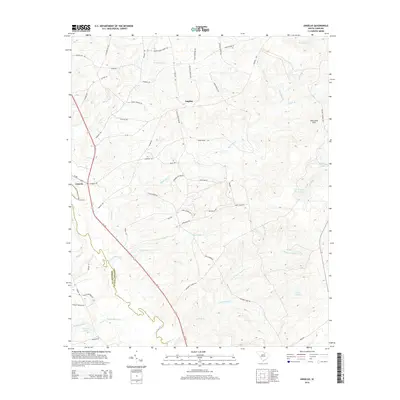
2014 Map of Angelus
USGS Topo · Published 2014About this map
Lynches River defines the southwestern boundary of this region, winding through a landscape shaped by numerous tributaries and family-named roads. The settlement of Catarrh anchors the western edge near Evans Ford, while Angelus sits centrally among the headwaters of Big Sandy Cr and Little Sandy Cr. The terrain is notable for its numerous small impoundments and ponds, including Kirkleys Pond, Hortons Pond, and the numerically designated Lake Number Seventeen. Local history is embedded in the road network, with names like Jack Buie Hill Rd, Daddy Hendrix Ln, and Mack Jowers Rd reflecting the long-standing community ties in this rural South Carolina landscape. To the northeast, the King Sand Hills rise above the drainage of Oxpen Br and Sevenmile Br, marking a shift in the local topography near the Kershaw and Chesterfield county line.
Find a feature on this map
69 named features on this map. Tap any name to fly to it.
Don’t see what you’re looking for? This feature index may not catch every label — zoom into the map to look around manually.
Map Details
Editions of this 2014 Angelus Map
This is the sole edition of this map. No revisions or reprints were ever made.
Other maps of this area

1941 · Spartanburg
USGS Topo · 1:250,000

1953 · Spartanburg
USGS Topo · 1:250,000

1960 · Spartanburg
USGS Topo · 1:250,000

1963 · Spartanburg
USGS Topo · 1:250,000

1964 · Spartanburg
USGS Topo · 1:250,000

1967 · Angelus
USGS Topo · 1:24,000

1967 · Mount Pisgah
USGS Topo · 1:24,000

1968 · Middendorf
USGS Topo · 1:24,000

1968 · Ruby
USGS Topo · 1:24,000

1968 · Jefferson
USGS Topo · 1:24,000