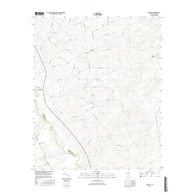
2017 Map of Angelus
USGS Topo · Published 2017About this map
Angelus and Catarrh serve as the primary hubs in this South Carolina landscape, which is defined by a dense network of watercourses and family-named routes. The topography is marked by the King Sand Hills and a complex drainage system where Big Sandy Cr and the Lynches River shape the movement of local travel. Named fords or crossings are implied by the winding paths of Sandy Run Creek Rd and Antioch Church Rd, while larger water bodies like Hortons Pond, Kirkleys Pond, and Lake James dot the lower elevations.
Find a feature on this map
63 named features on this map. Tap any name to fly to it.
Don’t see what you’re looking for? This feature index may not catch every label — zoom into the map to look around manually.
Map Details
Editions of this 2017 Angelus Map
This is the sole edition of this map. No revisions or reprints were ever made.
Other maps of this area

1941 · Spartanburg
USGS Topo · 1:250,000

1953 · Spartanburg
USGS Topo · 1:250,000

1960 · Spartanburg
USGS Topo · 1:250,000

1963 · Spartanburg
USGS Topo · 1:250,000

1964 · Spartanburg
USGS Topo · 1:250,000

1967 · Angelus
USGS Topo · 1:24,000

1967 · Mount Pisgah
USGS Topo · 1:24,000

1968 · Middendorf
USGS Topo · 1:24,000

1968 · Ruby
USGS Topo · 1:24,000

1968 · Jefferson
USGS Topo · 1:24,000