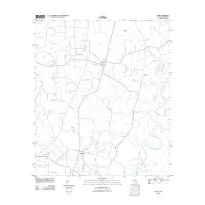
2012 Map of Angie
USGS Topo · Published 2012About this map
Angie and Varnado serve as the primary hubs in this corner of Washington Parish, situated along a landscape defined by the winding course of the Pearl River. This survey captures a region where family lineage is deeply etched into the geography, evidenced by a dense network of burial sites such as Wesley Ray Cem, Bonnie Cem, and Mohon Cem. The terrain is shaped by numerous waterways including Pushepatapa Cr and Mayfield Cr, which converge toward the river bottomlands.
Find a feature on this map
100 named features on this map. Tap any name to fly to it.
Don’t see what you’re looking for? This feature index may not catch every label — zoom into the map to look around manually.
Map Details
Editions of this 2012 Angie Map
This is the sole edition of this map. No revisions or reprints were ever made.
Other maps of this area

1949 · Bogalusa East
USGS Topo · 1:31,680

1949 · Angie
USGS Topo · 1:31,680

1949 · Bogalusa West
USGS Topo · 1:31,680

1950 · Crains Creek
USGS Topo · 1:31,680

1953 · Hattiesburg
USGS Topo · 1:250,000

1953 · Mobile
USGS Topo · 1:250,000

1957 · Mobile
USGS Topo · 1:250,000

1958 · Hattiesburg
USGS Topo · 1:250,000

1959 · Bogalusa
USGS Topo · 1:62,500

1959 · Poplarville
USGS Topo · 1:62,500