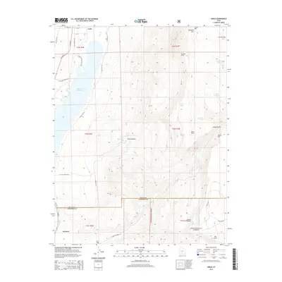
2014 Map of Angle
USGS Topo · Published 2014About this map
Angle and the northern outskirts of Antimony anchor this 2014 survey of the Piute and Garfield County border. The landscape is dominated by the waters of the Otter Cr Reservoir and the high elevations of the Awapa Plateau. Local water management is visible through features like the E Fork Canal and several high-altitude watering points including Forshea Spring Reservoir and Nicks Pond. The terrain rises sharply eastward toward Parker Mtn and Bedspring Pass, with the southern portion of the sheet transitioning into the protected lands of the Dixie National Forest. This map captures a modern view of a region where ranching infrastructure and natural springs like Billy Spring remain vital to the local geography. Significant family and place names are preserved in landmarks such as Forshea Point and the cattle-grazing grounds of Little Meadows.
Find a feature on this map
49 named features on this map. Tap any name to fly to it.
Don’t see what you’re looking for? This feature index may not catch every label — zoom into the map to look around manually.
Map Details
Editions of this 2014 Angle Map
This is the sole edition of this map. No revisions or reprints were ever made.
Other maps of this area

1885 · Beaver
USGS Topo · 1:250,000

1885 · Fish Lake
USGS Topo · 1:250,000

1896 · Fish Lake
USGS Topo · 1:250,000

1945 · Marysvale
USGS Topo · 1:62,500

1947 · Marysvale
USGS Topo · 1:62,500

1953 · Richfield
USGS Topo · 1:250,000

1956 · Salina
USGS Topo · 1:250,000

1958 · Richfield
USGS Topo · 1:250,000

1960 · Salina
USGS Topo · 1:250,000

1962 · Salina
USGS Topo · 1:250,000