2023 Map of Angola
USGS Topo · Published 2023About this map
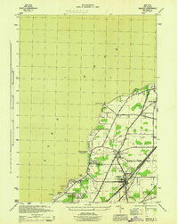
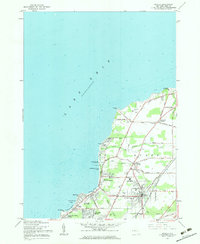
Lake Erie defines the western edge of this Erie County landscape, where coastal hamlets and recreational sites line the shore from Sturgeon Point down to Grandview Bay. The inland village of Angola serves as a central hub, connected to the waterfront by a network of local routes like Lake St and Pontiac Rd. The area's legacy as a lakeside destination is evident in the concentration of summer-oriented features, including Camp Pioneer, Camp Lakeland, and the Buffalo Municipal Bathing Beach.
Find a feature on this map
69 named features on this map. Tap any name to fly to it.
Don’t see what you’re looking for? This feature index may not catch every label — zoom into the map to look around manually.
Map Details
Editions of this 2023 Angola Map
This is the sole edition of this map. No revisions or reprints were ever made.