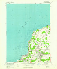
1960 Map of Angola
USGS Topo · Published 1962About this map
Lake Erie defines the western edge of this 1960 survey, where the shoreline of the town of Evans is marked by a dense concentration of summer camps, beaches, and residential additions. The landscape transition from the waterfront at Angola-on-the-Lake to the inland village of Angola reveals a mid-century community shaped by both recreation and heavy transit. Three major rail lines—the Pennsylvania, New York Central, and New York Chicago and St Louis—parallel the coast, cutting through a terrain dotted with local landmarks like the Drive-in Theater and Grandview Bay Golf Course.
Find a feature on this map
49 named features on this map. Tap any name to fly to it.
Don’t see what you’re looking for? This feature index may not catch every label — zoom into the map to look around manually.
Map Details
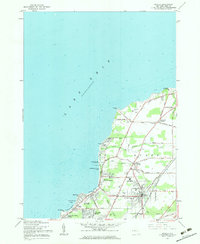
Editions of this 1960 Angola Map
2 editions found
Other maps of this area

1894 · Buffalo
USGS Topo · 1:62,500

1899 · Silver Creek
USGS Topo · 1:62,500

1901 · Buffalo
USGS Topo · 1:62,500

1905 · Eden
USGS Topo · 1:62,500

1907 · Eden
USGS Topo · 1:62,500

1943 · Silver Creek
USGS Topo · 1:24,000

1944 · Eden
USGS Topo · 1:62,500

1944 · North Collins
USGS Topo · 1:31,680
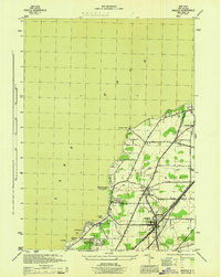
1944 · Angola
USGS Topo · 1:31,680

1944 · Farnham
USGS Topo · 1:31,680