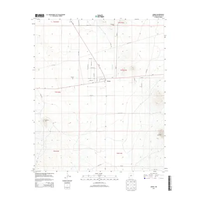
2013 Map of Animas
USGS Topo · Published 2013About this map
Animas serves as the central hub of this High Desert landscape in Hidalgo County, where the valley floor sits between the rising slopes of the Animas Mountains to the southeast and the Threemile Hills to the north. The settlement pattern is defined by a sparse grid of ranch and utility roads, including Continental Rd and Adams Ranch Rd, which navigate the arid terrain near the seasonal Animas River. Genealogists will find the Mid Animas Cem located west of the main town site, providing a clear point of reference for local family history. The presence of the Post Office and the intersection of NM-9 and Animas St mark the village's role as a persistent gateway in this corner of the Bootheel region. To the southwest, Limestone Hill stands as a prominent geological landmark amidst the vast township and range sections.
Find a feature on this map
36 named features on this map. Tap any name to fly to it.
Don’t see what you’re looking for? This feature index may not catch every label — zoom into the map to look around manually.
Map Details
Editions of this 2013 Animas Map
This is the sole edition of this map. No revisions or reprints were ever made.
Other maps of this area

1918 · Playas
USGS Topo · 1:62,500

1918 · Pratt
USGS Topo · 1:62,500

1919 · Pratt
USGS Topo · 1:62,500

1919 · Playas
USGS Topo · 1:62,500

1954 · Silver City
USGS Topo · 1:250,000

1955 · Douglas
USGS Topo · 1:250,000

1958 · Silver City
USGS Topo · 1:250,000

1959 · Douglas
USGS Topo · 1:250,000

1961 · Douglas
USGS Topo · 1:250,000

1962 · Silver City
USGS Topo · 1:250,000