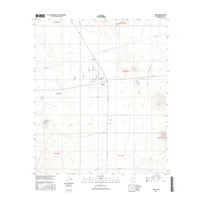
2017 Map of Animas
USGS Topo · Published 2017About this map
Animas sits at the heart of this high-desert basin, serving as a hub for the surrounding ranching and agricultural lands of Hidalgo County. The community is defined by a systematic grid of rural roads, including Lincoln Rd and Continental Rd, which provide access to the expansive range land between the Animas River and the towering peaks of the Animas Mountains to the southeast. Local history is anchored at the Middle Animas Cem, located west of the main settlement along Rolls Rd. The terrain is marked by significant geographic landmarks such as Threemile Hills in the north and Limestone Hill to the southwest. This modern survey reflects the enduring spatial organization of the valley, where infrastructure like Gas Line Rd and numerous county routes support the remote residents of this corner of New Mexico.
Find a feature on this map
43 named features on this map. Tap any name to fly to it.
Don’t see what you’re looking for? This feature index may not catch every label — zoom into the map to look around manually.
Map Details
Editions of this 2017 Animas Map
This is the sole edition of this map. No revisions or reprints were ever made.
Other maps of this area

1918 · Playas
USGS Topo · 1:62,500

1918 · Pratt
USGS Topo · 1:62,500

1919 · Pratt
USGS Topo · 1:62,500

1919 · Playas
USGS Topo · 1:62,500

1954 · Silver City
USGS Topo · 1:250,000

1955 · Douglas
USGS Topo · 1:250,000

1958 · Silver City
USGS Topo · 1:250,000

1959 · Douglas
USGS Topo · 1:250,000

1961 · Douglas
USGS Topo · 1:250,000

1962 · Silver City
USGS Topo · 1:250,000