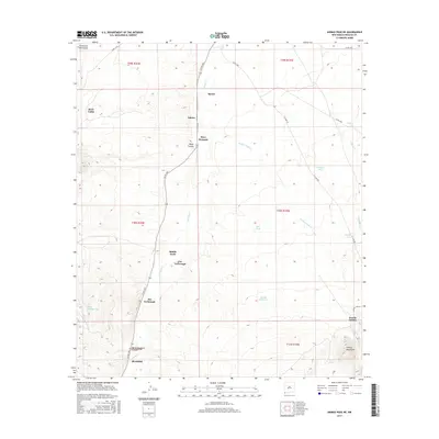
2017 Map of Animas Peak NE
USGS Topo · Published 2017About this map
Animas Cr defines the valley floor of this arid landscape, flanked by the foothills of the Peloncillo Mountains and the Animas Mountains. The map reveals a sparse ranching and grazing economy through its scattered settlements and named homestead sites, including Birchfield, Spears, and Eakins. These small outposts are often situated near water sources or along the primary north-south artery of Co RD c001. Family names are deeply embedded in the geography, from the Abe Yarbrough and Joe Yarbrough sites to Bene Dunagan.
Find a feature on this map
38 named features on this map. Tap any name to fly to it.
Don’t see what you’re looking for? This feature index may not catch every label — zoom into the map to look around manually.
Map Details
Editions of this 2017 Animas Peak NE Map
This is the sole edition of this map. No revisions or reprints were ever made.
Other maps of this area
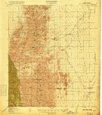
1918 · Walnut Wells
USGS Topo · 1:62,500
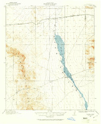
1918 · Playas
USGS Topo · 1:62,500
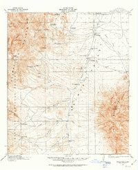
1918 · Animas Peak
USGS Topo · 1:62,500
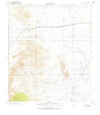
1918 · Pratt
USGS Topo · 1:62,500
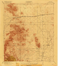
1919 · Pratt
USGS Topo · 1:62,500
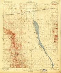
1919 · Playas
USGS Topo · 1:62,500
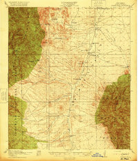
1920 · Animas Peak
USGS Topo · 1:62,500
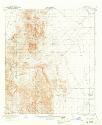
1923 · Walnut Wells
USGS Topo · 1:62,500
1955 · Douglas
USGS Topo · 1:250,000
1959 · Douglas
USGS Topo · 1:250,000