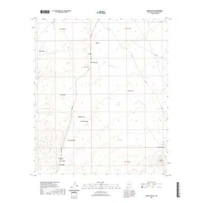
2020 Map of Animas Peak NE
USGS Topo · Published 2020About this map
Animas Mountains dominate the southeastern corner of this New Mexico landscape, where the terrain transitions from high desert peaks into the drainage basins of the Animas Cr. The settlement pattern is defined by isolated ranching sites and named dwellings rather than traditional townships, reflecting the rural character of Hidalgo County. Locations like Birchfield, Joe Yarbrough, and Abe Yarbrough appear as key landmarks in this arid environment, likely representing long-standing family holdings. Water management is central to life here, evidenced by the numerous tanks scattered across the land such as Dunagan Tank, Sten Tank, and Black tank. The presence of Double-Adobes and Rock Cabin highlights the vernacular architecture and functional outposts necessary for cattle operations in the southwestern desert. Connecting these points are established routes like X T Camp Rd and Adobe Camp Rd, which navigate the canyons and creek beds.
Find a feature on this map
35 named features on this map. Tap any name to fly to it.
Don’t see what you’re looking for? This feature index may not catch every label — zoom into the map to look around manually.
Map Details
Editions of this 2020 Animas Peak NE Map
This is the sole edition of this map. No revisions or reprints were ever made.
Other maps of this area

1918 · Walnut Wells
USGS Topo · 1:62,500

1918 · Playas
USGS Topo · 1:62,500

1918 · Animas Peak
USGS Topo · 1:62,500

1918 · Pratt
USGS Topo · 1:62,500

1919 · Pratt
USGS Topo · 1:62,500

1919 · Playas
USGS Topo · 1:62,500

1920 · Animas Peak
USGS Topo · 1:62,500

1923 · Walnut Wells
USGS Topo · 1:62,500

1955 · Douglas
USGS Topo · 1:250,000

1959 · Douglas
USGS Topo · 1:250,000