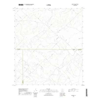
2019 Map of Anna Rose
USGS Topo · Published 2019About this map
Anna Rose sits at the convergence of several rural Texas counties, serving as a focal point for a landscape defined by its network of creeks and ranchlands. The area is characterized by a complex drainage system, where the waters of Ramirena Cr, Kentuck Cr, and Lagarto Cr carve through the terrain. This 2019 survey documents the intricate administrative boundaries where Live Oak, Jim Wells, and Duval counties meet. Modern infrastructure is represented by the Floyd Ranch Airport, which serves this ranching country alongside a dense grid of county roads and farm-to-market routes like FM 624. From the lowlands of Dix Hollow to the south-flowing Botello Cr, the map illustrates how water and transportation corridors dictate the layout of these South Texas ranching communities.
Find a feature on this map
35 named features on this map. Tap any name to fly to it.
Don’t see what you’re looking for? This feature index may not catch every label — zoom into the map to look around manually.
Map Details
Editions of this 2019 Anna Rose Map
This is the sole edition of this map. No revisions or reprints were ever made.
Other maps of this area

1920 · Mikeska
USGS Topo · 1:125,000

1920 · San Diego
USGS Topo · 1:62,500

1953 · Crystal City
USGS Topo · 1:250,000

1955 · Crystal City
USGS Topo · 1:250,000

1956 · Rosita Ranch
USGS Topo · 1:62,500

1956 · Laredo
USGS Topo · 1:250,000

1961 · Crystal City
USGS Topo · 1:250,000
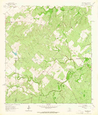
1963 · Anna Rose
USGS Topo · 1:24,000

1963 · San Diego NE
USGS Topo · 1:24,000
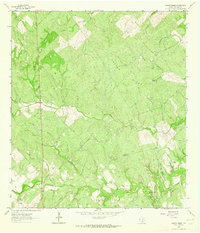
1963 · Crater Ridge
USGS Topo · 1:24,000