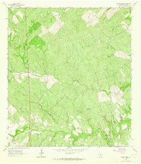
1963 Map of Crater Ridge
USGS Topo · Published 1964About this map
Crater Ridge and the surrounding Live Oak County brush country are defined here by a mid-century petroleum economy and a landscape of essential water infrastructure. The survey reveals a dense network of energy production, including the South Ramirena Oil Field, Gilden Oil Field, and the McNeil Oil Field, with a prominent Pipeline cutting across the terrain toward the Burnett Oil and Gas Field. This industrial activity is superimposed over a pastoral setting where survival depends on named water sources like Ramirena Creek and a series of livestock tanks and windmills. Landmarks such as The Tubs Windmill, Jacobs Tank, and Huisache Tank denote specific points of local importance in this arid environment. The map also captures a small touch of public transit infrastructure at Roadside Park, set against the backdrop of deep natural drainages like Long Hollow and Gerrard Hollow.
Find a feature on this map
19 named features on this map. Tap any name to fly to it.
Don’t see what you’re looking for? This feature index may not catch every label — zoom into the map to look around manually.
Map Details
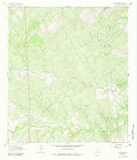
Editions of this 1963 Crater Ridge Map
2 editions found
Other maps of this area

1920 · Mikeska
USGS Topo · 1:125,000

1925 · Oakville No. 4
USGS Topo · 1:48,000

1925 · Mathis No. 2
USGS Topo · 1:48,000

1925 · Mathis No. 3
USGS Topo · 1:48,000

1927 · Mathis
USGS Topo · 1:62,500

1927 · Oakville
USGS Topo · 1:62,500

1953 · Crystal City
USGS Topo · 1:250,000

1953 · Beeville
USGS Topo · 1:250,000

1954 · Fleming
USGS Topo · 1:62,500

1954 · Mathis
USGS Topo · 1:62,500