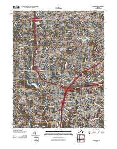
2010 Map of Annandale
USGS Topo · Published 2010About this map
Annandale and its surrounding suburbs appear as a dense network of residential developments and commercial hubs in this 2010 study of Northern Virginia. The map details the intricate residential subdivisions that define the era, including Holmes Run Acres, Broyhill Park, and Sleepy Hollow Manor, while major infrastructure such as the Lake Barcroft Dam and Accotink Dam manage the local hydrology. Local history and genealogy interests are well-served by the presence of several burial sites, such as the Gooding Family Cemetery and the Sydenstricker Methodist Cemetery. The transition from mid-century expansion to modern urban density is visible in the concentrations of services near Seven Corners and the multiple postal facilities like the Baileys Crossroads Post Office. Public landmarks including the Newton C Edwards Amphitheater and recreational spaces like the Greendale Golf Course further illustrate the established community character of the Fairfax County landscape during this period.
Find a feature on this map
195 named features on this map. Tap any name to fly to it.
Don’t see what you’re looking for? This feature index may not catch every label — zoom into the map to look around manually.
Map Details
Editions of this 2010 Annandale Map
This is the sole edition of this map. No revisions or reprints were ever made.
Other maps of this area

1890 · Mt. Vernon
USGS Topo · 1:125,000

1891 · Mt. Vernon
USGS Topo · 1:125,000

1894 · Mt. Vernon
USGS Topo · 1:125,000

1897 · Mt. Vernon
USGS Topo · 1:125,000

1900 · Washington
USGS Topo · 1:62,500

1913 · Indian Head
USGS Topo · 1:62,500

1915 · Fairfax
USGS Topo · 1:62,500

1923 · Indian Head
USGS Topo · 1:48,000

1925 · Indian Head
USGS Topo · 1:62,500

1927 · Quantico
USGS Topo · 1:62,500