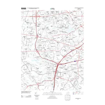
2013 Map of Annandale
USGS Topo · Published 2013About this map
Lake Barcroft and Lake Accotink anchor the landscape of this suburban Northern Virginia region, where established residential neighborhoods grew rapidly around historic transportation corridors. The map details a dense network of suburban developments that emerged along Lee Hwy, Arlington Blvd, and Columbia Pike. In the northeast corner, the prominent intersection of Seven Corners sits near the high ground of Upton Hill and Munson Hill, areas that saw significant 20th-century growth. Modern community amenities are visible in the form of the Newton C Edwards Amphitheater and numerous local green spaces like Bren Mar Park and Fairfax Park. The presence of the US Coast Guard Base in the south provides a window into the federal and military footprint that has long defined the local economy and land use patterns of Fairfax County.
Find a feature on this map
149 named features on this map. Tap any name to fly to it.
Don’t see what you’re looking for? This feature index may not catch every label — zoom into the map to look around manually.
Map Details
Editions of this 2013 Annandale Map
This is the sole edition of this map. No revisions or reprints were ever made.
Other maps of this area

1890 · Mt. Vernon
USGS Topo · 1:125,000

1891 · Mt. Vernon
USGS Topo · 1:125,000

1894 · Mt. Vernon
USGS Topo · 1:125,000

1897 · Mt. Vernon
USGS Topo · 1:125,000

1900 · Washington
USGS Topo · 1:62,500

1913 · Indian Head
USGS Topo · 1:62,500

1915 · Fairfax
USGS Topo · 1:62,500

1923 · Indian Head
USGS Topo · 1:48,000

1925 · Indian Head
USGS Topo · 1:62,500

1927 · Quantico
USGS Topo · 1:62,500