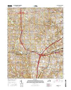
2016 Map of Annandale
USGS Topo · Published 2016About this map
The suburban landscape of Northern Virginia is meticulously detailed here, centered on the unincorporated community of Annandale. High-density residential developments such as Idylwood, Pine Spring, and Seven Corners are interwoven with a network of waterways including Accotink Creek and Holmes Run. The map provides significant genealogical value through its identification of numerous small family burial grounds, such as the Stuart-Custis Family Cemetery and Summers Family Cemetery, which often remain as tiny enclaves amidst modern expansion. Educational and religious landmarks like the Northern Virginia Community College Annandale Campus and the Annandale United Methodist Church anchor the local neighborhoods. The presence of major reservoirs like Lake Barcroft and Lake Accotink highlights the region's managed water resources and recreational spaces within the sprawling metropolitan infrastructure of Fairfax County.
Find a feature on this map
168 named features on this map. Tap any name to fly to it.
Don’t see what you’re looking for? This feature index may not catch every label — zoom into the map to look around manually.
Map Details
Editions of this 2016 Annandale Map
This is the sole edition of this map. No revisions or reprints were ever made.
Other maps of this area

1890 · Mt. Vernon
USGS Topo · 1:125,000

1891 · Mt. Vernon
USGS Topo · 1:125,000

1894 · Mt. Vernon
USGS Topo · 1:125,000

1897 · Mt. Vernon
USGS Topo · 1:125,000

1900 · Washington
USGS Topo · 1:62,500

1913 · Indian Head
USGS Topo · 1:62,500

1915 · Fairfax
USGS Topo · 1:62,500

1923 · Indian Head
USGS Topo · 1:48,000

1925 · Indian Head
USGS Topo · 1:62,500

1927 · Quantico
USGS Topo · 1:62,500