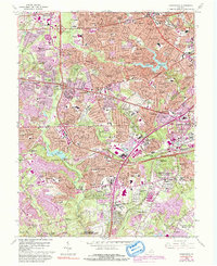
2022 Map of Annandale
USGS Topo · Published 2022About this map
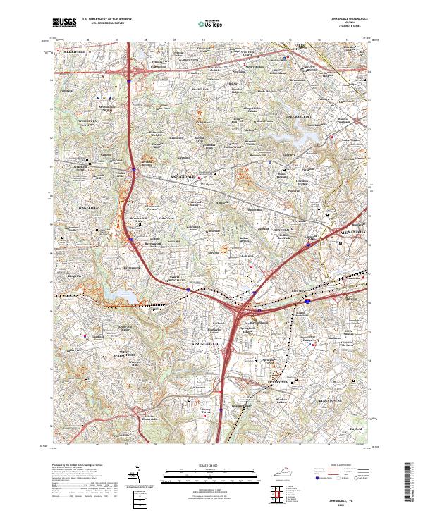
Annandale and the surrounding suburban developments of Springfield and West Springfield define this portion of Northern Virginia as it appeared in the early 2020s. The landscape is characterized by a dense network of residential subdivisions and major transportation corridors, such as the Little River Tpke and Franconia Springfield Pkwy. Despite modern expansion, numerous small family burial grounds are preserved within the urban fabric, including the Gooding - Seaton Family Cem and the Grover Family Cem.
Find a feature on this map
158 named features on this map. Tap any name to fly to it.
Don’t see what you’re looking for? This feature index may not catch every label — zoom into the map to look around manually.
Map Details
Editions of this 2022 Annandale Map
This is the sole edition of this map. No revisions or reprints were ever made.
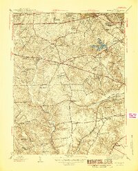
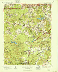
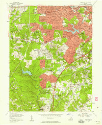
Historical Maps of Annandale Through Time
6 maps found