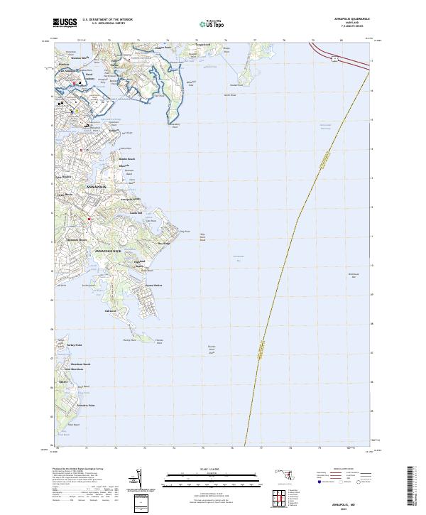
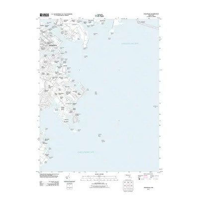
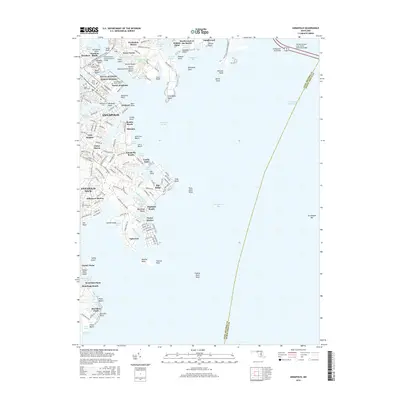
2023 Map of Annapolis
USGS Topo · Published 2023About this map
The United States Naval Academy dominates the shoreline of the Severn River, marking the historic center of Maryland's capital. This coastal landscape is defined by its deep inlets and numerous residential peninsues, where the city of Annapolis transitions into the distinct neighborhoods of West Annapolis and Eastport. Genealogists will find several notable burial grounds mapped in detail, including Saint Annes Cem, Naval Academy Cem, and the Redemptorist Cem.
Find a feature on this map
187 named features on this map. Tap any name to fly to it.
Don’t see what you’re looking for? This feature index may not catch every label — zoom into the map to look around manually.
Map Details
Editions of this 2023 Annapolis Map
This is the sole edition of this map. No revisions or reprints were ever made.
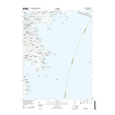
Historical Maps of Annapolis Through Time
10 maps found
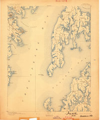
1892 Annapolis
Anne Arundel County, MD
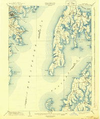
1904 Annapolis
Anne Arundel County, MD
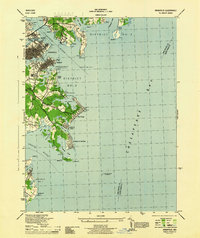
1944 Annapolis
Anne Arundel County, MD
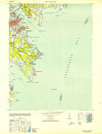
1953 Annapolis
Anne Arundel County, MD
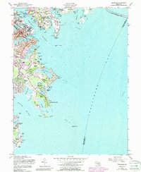
1957 Annapolis
Anne Arundel County, MD
2011 Annapolis
Anne Arundel County, MD
2014 Annapolis
Anne Arundel County, MD
2016 Annapolis
Anne Arundel County, MD
2019 Annapolis
Anne Arundel County, MD
2023 Annapolis
Anne Arundel County, MD