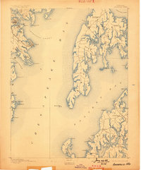
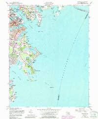
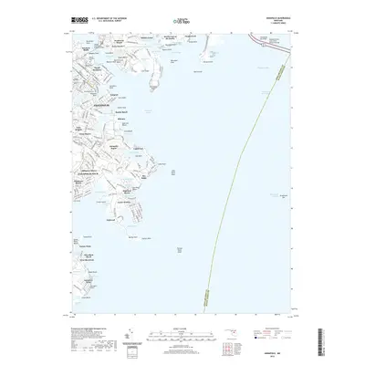
1892 Map of Annapolis
USGS Topo · Published 1899About this map
Annapolis serves as the focal point for this late nineteenth-century maritime survey, situated where the Severn River meets the Annapolis Roads. The landscape is defined by the complex interface of the Chesapeake Bay and its numerous tidal estuaries, including the South River and the expansive Eastern Bay. Steam and sail navigation are supported by essential markers such as the Bloody Pt. Bar Light and Greenbury Pt. L.H..
Find a feature on this map
81 named features on this map. Tap any name to fly to it.
Don’t see what you’re looking for? This feature index may not catch every label — zoom into the map to look around manually.
Map Details
Editions of this 1892 Annapolis Map
2 editions found

Historical Maps of Annapolis Through Time
10 maps found
1892 Annapolis
Anne Arundel County, MD
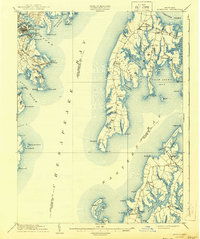
1904 Annapolis
Anne Arundel County, MD
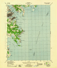
1944 Annapolis
Anne Arundel County, MD
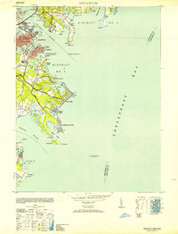
1953 Annapolis
Anne Arundel County, MD
1957 Annapolis
Anne Arundel County, MD
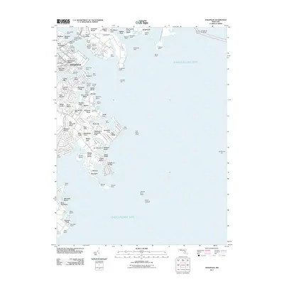
2011 Annapolis
Anne Arundel County, MD
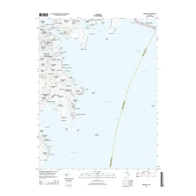
2014 Annapolis
Anne Arundel County, MD
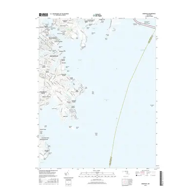
2016 Annapolis
Anne Arundel County, MD
2019 Annapolis
Anne Arundel County, MD
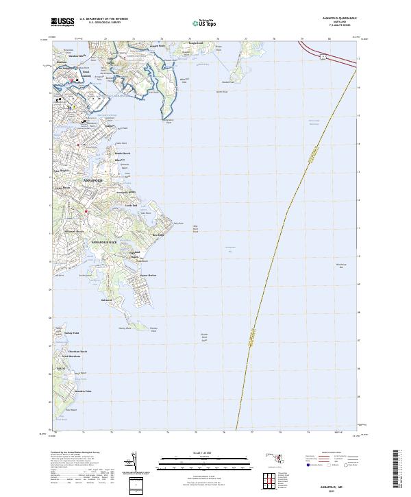
2023 Annapolis
Anne Arundel County, MD