
1956 Map of Anniston
USGS Topo · Published 1960About this map
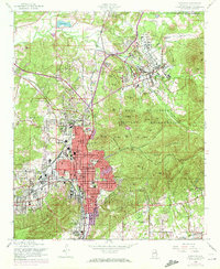
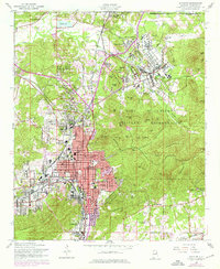
Fort Mc Clellan Military Reservation dominates the northeastern landscape of this mid-century survey, revealing a massive installation complete with Reilly Airfield, an Amphitheater, and a notable Prisoner of War Cem. The urban core of Anniston is clearly delineated in red, showing the structured grid of the city center anchored by the Courthouse, City Hall, and Zinn Park. The map documents the residential expansion into surrounding communities like Saks, Cobb Town, and Leatherwood, while the rugged peaks of the Skeleton Mountains and Iron Mtn provide a natural eastern barrier. For local historians, the sheet identifies numerous neighborhood landmarks, from the Thankful Ch and Cobb Ave Sch to the industrial presence of the Southern railroad lines. The mix of military infrastructure, civic centers, and rural outskirts provides a comprehensive view of Calhoun County’s development before the interstate era.
Find a feature on this map
82 named features on this map. Tap any name to fly to it.
Don’t see what you’re looking for? This feature index may not catch every label — zoom into the map to look around manually.
Map Details
Editions of this 1956 Anniston Map
3 editions found
Other maps of this area

1900 · Anniston
USGS Topo · 1:125,000

1947 · Oxford
USGS Topo · 1:24,000

1947 · Anniston
USGS Topo · 1:24,000

1947 · Jacksonville
USGS Topo · 1:24,000

1947 · Wellington
USGS Topo · 1:24,000

1947 · Jacksonville
USGS Topo · 1:62,500

1947 · Eulaton
USGS Topo · 1:24,000

1947 · Munford
USGS Topo · 1:24,000

1950 · Anniston
USGS Topo · 1:62,500

1953 · Atlanta
USGS Topo · 1:250,000