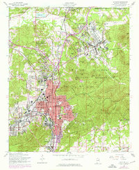
1956 Map of Anniston
USGS Topo · Published 1976About this map
Fort Mc Clellan Military Reservation dominates the northern and eastern portions of this mid-century survey, revealing a landscape defined by military infrastructure and rolling ridges. The reservation includes specialized sites like a Prisoner of War Camp, an Amphitheater, and numerous named training grounds such as Baltzell Hills and Jerry Hill. To the south, the city of Anniston shows a dense street grid organized around central landmarks like the Courthouse and the National Guard Armory.
Find a feature on this map
81 named features on this map. Tap any name to fly to it.
Don’t see what you’re looking for? This feature index may not catch every label — zoom into the map to look around manually.
Map Details
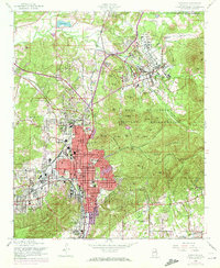
Editions of this 1956 Anniston Map
3 editions found

Other maps of this area

1900 · Anniston
USGS Topo · 1:125,000

1947 · Oxford
USGS Topo · 1:24,000

1947 · Anniston
USGS Topo · 1:24,000

1947 · Jacksonville
USGS Topo · 1:24,000

1947 · Wellington
USGS Topo · 1:24,000

1947 · Jacksonville
USGS Topo · 1:62,500

1947 · Eulaton
USGS Topo · 1:24,000

1947 · Munford
USGS Topo · 1:24,000

1950 · Anniston
USGS Topo · 1:62,500

1953 · Atlanta
USGS Topo · 1:250,000