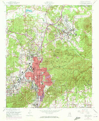
1956 Map of Anniston
USGS Topo · Published 1972About this map
Anniston serves as the focal point of this mid-century survey, surrounded by its industrial and residential outskirts as they appeared before the 1970s. The landscape transitions from the urban core toward the Skeleton Mountains and Silver Ridge to the east, dominated by the sprawling Fort McClellan Military Reservation. The influence of the Southern railroad is evident, anchoring early industrial sites and outlying settlements like Blue Mountain and Cobb Town.
Find a feature on this map
68 named features on this map. Tap any name to fly to it.
Don’t see what you’re looking for? This feature index may not catch every label — zoom into the map to look around manually.
Map Details
Editions of this 1956 Anniston Map
3 editions found

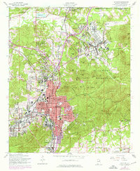
Other maps of this area

1900 · Anniston
USGS Topo · 1:125,000

1947 · Oxford
USGS Topo · 1:24,000

1947 · Anniston
USGS Topo · 1:24,000

1947 · Jacksonville
USGS Topo · 1:24,000

1947 · Wellington
USGS Topo · 1:24,000

1947 · Jacksonville
USGS Topo · 1:62,500

1947 · Eulaton
USGS Topo · 1:24,000

1947 · Munford
USGS Topo · 1:24,000

1950 · Anniston
USGS Topo · 1:62,500

1953 · Atlanta
USGS Topo · 1:250,000