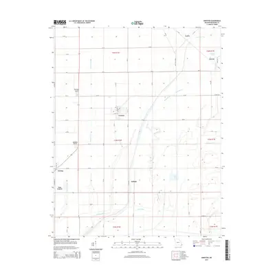
2015 Map of Anniston
USGS Topo · Published 2015About this map
Anniston and the surrounding agricultural landscape of Mississippi County are defined by a complex network of drainage and water management features. The terrain is marked by the winding courses of Black Bayou and James Bayou, which contrast with the straight, engineered lines of Wolf Hole Lateral, Saint James Ditch, and Spillway Ditch. These waterways represent the essential drainage infrastructure required for the region's farming economy. Small settlements such as Samos, Henson, and Whiting dot the map, while East Prairie appears at the western edge. The presence of the Mississippi County Airport and the interestingly named Pulltight provide local landmarks within the rectangular grid of county roads and section lines. This 2015 survey reflects a deeply modified delta landscape where water control systems dictate the patterns of human settlement and transport.
Find a feature on this map
67 named features on this map. Tap any name to fly to it.
Don’t see what you’re looking for? This feature index may not catch every label — zoom into the map to look around manually.
Map Details
Editions of this 2015 Anniston Map
This is the sole edition of this map. No revisions or reprints were ever made.
Other maps of this area
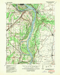
1939 · Wickliffe
USGS Topo · 1:62,500
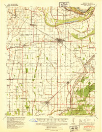
1939 · Charleston
USGS Topo · 1:62,500
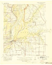
1939 · Hickman
USGS Topo · 1:62,500
1939 · Bayouville
USGS Topo · 1:62,500
1951 · Wolf Island
USGS Topo · 1:24,000
1951 · Wickliffe SW
USGS Topo · 1:24,000
1952 · Wickliffe
USGS Topo · 1:62,500
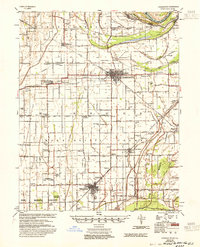
1954 · Charleston
USGS Topo · 1:62,500
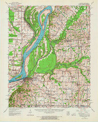
1954 · Hickman
USGS Topo · 1:62,500
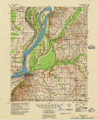
1955 · Hickman
USGS Topo · 1:62,500