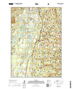
2020 Map of Anns Butte
USGS Topo · Published 2020About this map
Three Rivers serves as the primary residential hub within this 2020 landscape, situated at the confluence where the Spring River and the Little Deschutes River meet the main river channel. The topography is defined by significant volcanic features, including the western reaches of the Newberry Volcano and the prominent heights of Anns Butte and Camp Abbot Buttes. Human infrastructure is closely tied to the water, with several key crossings such as Harper Bridge, the Montgomery Bridge, and the Robert D. Maxwell Veterans Memorial Bridge providing access across the river system.
Find a feature on this map
29 named features on this map. Tap any name to fly to it.
Don’t see what you’re looking for? This feature index may not catch every label — zoom into the map to look around manually.
Map Details
Editions of this 2020 Anns Butte Map
This is the sole edition of this map. No revisions or reprints were ever made.
Other maps of this area

1930 · Maiden Peak
USGS Topo · 1:125,000

1931 · Newberry Crater
USGS Topo · 1:125,000

1934 · Maiden Peak
USGS Topo · 1:125,000

1935 · Newberry Crater
USGS Topo · 1:125,000

1955 · Crescent
USGS Topo · 1:250,000

1957 · Crescent
USGS Topo · 1:250,000

1958 · Crescent
USGS Topo · 1:250,000
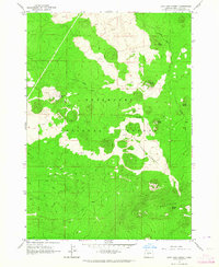
1963 · Lava Cast Forest
USGS Topo · 1:24,000
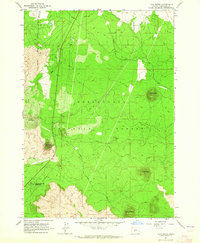
1963 · Lava Butte
USGS Topo · 1:24,000
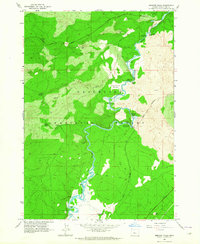
1963 · Benham Falls
USGS Topo · 1:24,000