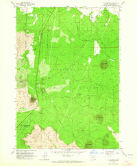
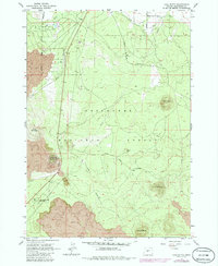
1963 Map of Lava Butte
USGS Topo · Published 1964About this map
Lava Butte rises as a prominent volcanic landmark within the central Oregon landscape, topped by a Fire Lookout that overlooks a vast expanse of basalt flows. The high-desert terrain of the Deschutes National Forest is defined by these cinder cones, including Bessie Butte, Luna Butte, and Klawhop Butte. The 1963 survey shows the path of the Great Northern railroad cutting through the lava fields, providing a stark contrast between industrial transport and the raw geological formations. To the south, Lava River Caves State Park protects subterranean volcanic features, while the Arnold Canal and its Siphon illustrate the engineering required to move water through this porous volcanic soil. The Presence of a Landing Strip and various Jeep Trails indicates the mid-century infrastructure supporting both forest management and recreation.
Find a feature on this map
27 named features on this map. Tap any name to fly to it.
Don’t see what you’re looking for? This feature index may not catch every label — zoom into the map to look around manually.
Map Details
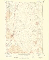
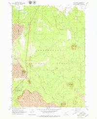
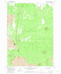
Editions of this 1963 Lava Butte Map
5 editions found
Other maps of this area

1926 · Bend
USGS Topo · 1:125,000

1929 · Bend
USGS Topo · 1:125,000

1931 · Newberry Crater
USGS Topo · 1:125,000

1935 · Newberry Crater
USGS Topo · 1:125,000

1955 · Crescent
USGS Topo · 1:250,000

1955 · Bend
USGS Topo · 1:250,000

1957 · Crescent
USGS Topo · 1:250,000

1957 · Bend
USGS Topo · 1:250,000

1958 · Crescent
USGS Topo · 1:250,000

1958 · Bend
USGS Topo · 1:250,000