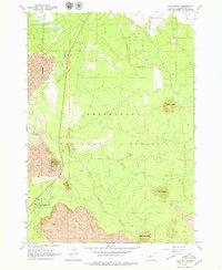
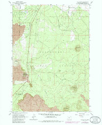
1963 Map of Lava Butte
USGS Topo · Published 1979About this map
Volcanic topography dominates this mid-century survey of the high desert south of Bend, where the Deschutes National Forest meets sprawling fields of Lava. Central to the landscape is the cinder cone of Lava Butte, overlooking a complex network of forest roads and geologic features including Lava River Caves State Park. The map documents the early infrastructure of the region, from the Arnold Canal with its Siphon to the remote Landing Strip and several Cinder Pits utilized for road building. A series of prominent peaks, such as Green Mountain, Bessie Butte, and Klawhop Butte, define the horizon. Researchers will find the 1963 field check particularly useful for tracing the original routes of the Great Northern Road and Ice Cave Road before modern highway realignments and recreation development altered the backcountry access points.
Find a feature on this map
22 named features on this map. Tap any name to fly to it.
Don’t see what you’re looking for? This feature index may not catch every label — zoom into the map to look around manually.
Map Details
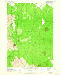
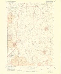
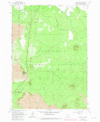
Editions of this 1963 Lava Butte Map
5 editions found
Other maps of this area

1926 · Bend
USGS Topo · 1:125,000

1929 · Bend
USGS Topo · 1:125,000

1931 · Newberry Crater
USGS Topo · 1:125,000

1935 · Newberry Crater
USGS Topo · 1:125,000

1955 · Crescent
USGS Topo · 1:250,000

1955 · Bend
USGS Topo · 1:250,000

1957 · Crescent
USGS Topo · 1:250,000

1957 · Bend
USGS Topo · 1:250,000

1958 · Crescent
USGS Topo · 1:250,000

1958 · Bend
USGS Topo · 1:250,000