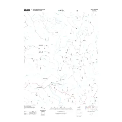
2013 Map of Ano
USGS Topo · Published 2013About this map
Ano and Goodwater serve as the primary points of settlement in this Kentucky landscape, defined by a complex network of ridges and watercourses. The Rockcastle River environment is central to the area's geography, featuring dramatic natural formations like The Loop, The Narrows, and Rockcastle Springs Ridge. The southern portion of the sheet is largely dedicated to outdoor recreation, centered around the Bee Rock Recreation Area and Bee Rock Campground. This area provides public access to the river via the Bee Rock Ramp and scenic vistas from the Bee Rock Overlook. High ground is frequently named for family lineages or geographical markers, including George Barnett Ridge, Parkey Ridge, and Bolthouse Ridge. The hydrology is equally dense, with numerous branches and creeks such as Big Clifty Cr, Stillhouse Br, and Sinking Cr carving deep into the terrain.
Find a feature on this map
70 named features on this map. Tap any name to fly to it.
Don’t see what you’re looking for? This feature index may not catch every label — zoom into the map to look around manually.
Map Details
Editions of this 2013 Ano Map
This is the sole edition of this map. No revisions or reprints were ever made.
Other maps of this area

1890 · Williamsburg
USGS Topo · 1:125,000

1893 · London
USGS Topo · 1:125,000

1894 · Williamsburg
USGS Topo · 1:125,000

1897 · London
USGS Topo · 1:125,000

1952 · Hail
USGS Topo · 1:24,000

1952 · London SW
USGS Topo · 1:24,000

1952 · Vox
USGS Topo · 1:24,000

1952 · Billows
USGS Topo · 1:24,000

1952 · Ano
USGS Topo · 1:24,000

1952 · Dykes
USGS Topo · 1:24,000