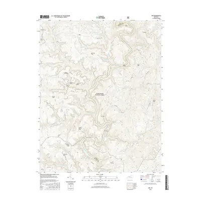
2016 Map of Ano
USGS Topo · Published 2016About this map
The Rockcastle River carves a dramatic path through this section of the Daniel Boone National Forest on the border of Pulaski and Laurel Counties. The waterway is defined by sharp meanders, notably The Loop and a narrow neck of land known as The Narrows. This is a landscape of complex ridges and hollows, where family-named landmarks like George Barnett Ridge and Bolthouse Ridge speak to the local history of the region.
Find a feature on this map
80 named features on this map. Tap any name to fly to it.
Don’t see what you’re looking for? This feature index may not catch every label — zoom into the map to look around manually.
Map Details
Editions of this 2016 Ano Map
This is the sole edition of this map. No revisions or reprints were ever made.
Other maps of this area

1890 · Williamsburg
USGS Topo · 1:125,000

1893 · London
USGS Topo · 1:125,000

1894 · Williamsburg
USGS Topo · 1:125,000

1897 · London
USGS Topo · 1:125,000

1952 · Hail
USGS Topo · 1:24,000

1952 · London SW
USGS Topo · 1:24,000

1952 · Vox
USGS Topo · 1:24,000

1952 · Billows
USGS Topo · 1:24,000

1952 · Ano
USGS Topo · 1:24,000

1952 · Dykes
USGS Topo · 1:24,000