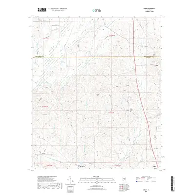
2018 Map of Ansley
USGS Topo · Published 2018About this map
The community of Ansley and the surrounding borderlands of Pike Co and Montgomery Co are documented here in 2018. The landscape is defined by the winding paths of Little Patsaliga Cr and its many tributaries, such as Surveyors Br and McQuagge Mill Cr, which drain the area’s rolling elevations. Notable topographic relief is found at Becks Mtn, standing as a landmark among the numerous creek valleys.
Find a feature on this map
78 named features on this map. Tap any name to fly to it.
Don’t see what you’re looking for? This feature index may not catch every label — zoom into the map to look around manually.
Map Details
Editions of this 2018 Ansley Map
This is the sole edition of this map. No revisions or reprints were ever made.
Other maps of this area

1953 · Montgomery
USGS Topo · 1:250,000

1953 · Andalusia
USGS Topo · 1:250,000

1953 · Dothan
USGS Topo · 1:250,000

1954 · Dothan
USGS Topo · 1:250,000

1955 · Dothan
USGS Topo · 1:250,000

1955 · Phenix City
USGS Topo · 1:250,000

1956 · Montgomery
USGS Topo · 1:250,000

1957 · Phenix City
USGS Topo · 1:250,000

1957 · Montgomery
USGS Topo · 1:250,000

1957 · Andalusia
USGS Topo · 1:250,000