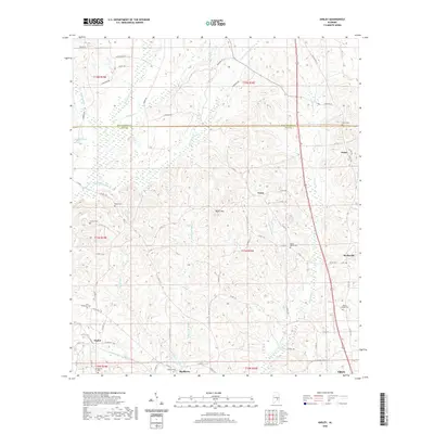
2020 Map of Ansley
USGS Topo · Published 2020About this map
Olustee Creek and Little Patsaliga Creek define the drainage patterns of this rural stretch along the boundary of Pike and Montgomery Counties. The landscape is dotted with small, historically significant settlements like Orion, Ansley, and Shellhorn, each centered around local crossroads and community landmarks. The prominence of numerous burial grounds, including Springfield Cemetery and Mount Moriah Cemetery, provides a wealth of data for genealogical research in this part of Alabama.
Find a feature on this map
77 named features on this map. Tap any name to fly to it.
Don’t see what you’re looking for? This feature index may not catch every label — zoom into the map to look around manually.
Map Details
Editions of this 2020 Ansley Map
This is the sole edition of this map. No revisions or reprints were ever made.
Other maps of this area

1953 · Montgomery
USGS Topo · 1:250,000

1953 · Andalusia
USGS Topo · 1:250,000

1953 · Dothan
USGS Topo · 1:250,000

1954 · Dothan
USGS Topo · 1:250,000

1955 · Dothan
USGS Topo · 1:250,000

1955 · Phenix City
USGS Topo · 1:250,000

1956 · Montgomery
USGS Topo · 1:250,000

1957 · Phenix City
USGS Topo · 1:250,000

1957 · Montgomery
USGS Topo · 1:250,000

1957 · Andalusia
USGS Topo · 1:250,000