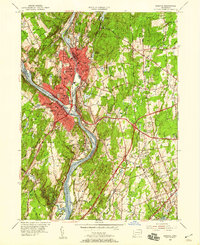
1953 Map of Ansonia
USGS Topo · Published 1959About this map
The confluence of the Naugatuck River and Housatonic River serves as the industrial and social anchor for the tri-city area of Ansonia, Derby, and Shelton. This mid-century survey reveals a dense urban core concentrated along the riverbanks, where the New York New Haven and Hartford railroad tracks follow the water's edge, supporting the region's manufacturing legacy. Beyond the city centers, the landscape rises into significant high ground such as Coram Hill and Peck Hill, where the transition from industrial density to suburban expansion is evident.
Find a feature on this map
80 named features on this map. Tap any name to fly to it.
Don’t see what you’re looking for? This feature index may not catch every label — zoom into the map to look around manually.
Map Details
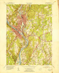
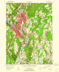
Editions of this 1953 Ansonia Map
3 editions found
Other maps of this area

1889 · Derby
USGS Topo · 1:62,500

1891 · Bridgeport
USGS Topo · 1:62,500

1891 · Derby
USGS Topo · 1:62,500

1892 · New Haven
USGS Topo · 1:62,500

1893 · Bridgeport
USGS Topo · 1:62,500

1893 · Derby
USGS Topo · 1:62,500

1920 · Bridgeport
USGS Topo · 1:62,500

1921 · New Haven
USGS Topo · 1:62,500

1943 · New Haven
USGS Topo · 1:31,680

1943 · Naugatuck
USGS Topo · 1:31,680