Loading...
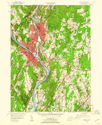
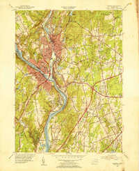
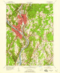
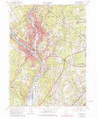
Loading map...1953 Map of Ansonia
USGS Topo · Published 1960About this map
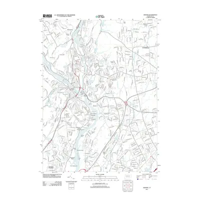
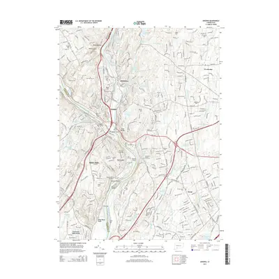
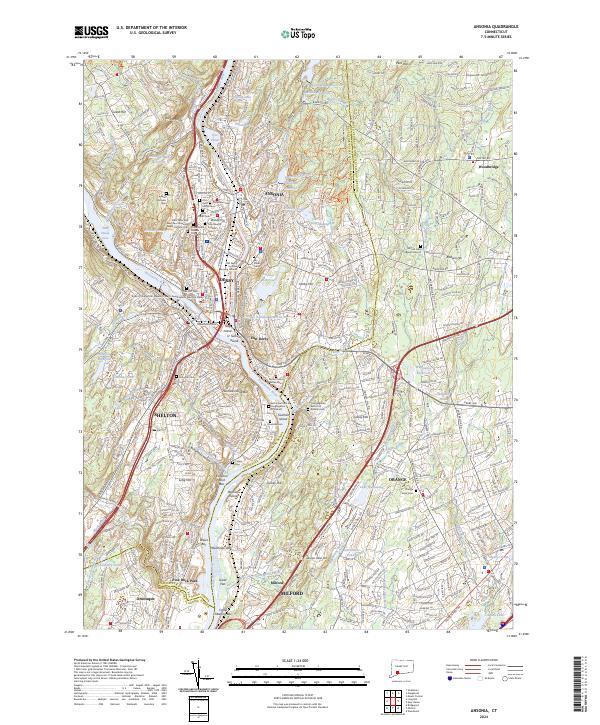
Industrial centers along the Naugatuck River and Housatonic River anchor this mid-century portrait of Ansonia, Derby, and Shelton. The landscape reflects a densely settled Naugatuck Valley, where residential growth pushes into the surrounding hills while the riverside remains dominated by the New York New Haven and Hartford railroad and significant municipal institutions like City Hall, the Post Office, and various parish schools such as St Marys Sch and Assumption Sch.
Find a feature on this map
83 named features on this map. Tap any name to fly to it.
Don’t see what you’re looking for? This feature index may not catch every label — zoom into the map to look around manually.
Map Details
Date Portrayed1953
Date Published1960
PublisherU.S. Geological Survey
Map TypeTopographic
Scale1:24,000
Physical Dimensions22 x 26.8 inches
Editions of this 1953 Ansonia Map
3 editions found
Historical Maps of Milford Through Time
7 maps found
Featured Locations
Source Details
SourceU.S. Geological Survey
CopyrightPublic Domain