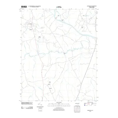
2010 Map of Ansonville
USGS Topo · Published 2010About this map
Ansonville serves as the primary settlement in this portion of Anson County, positioned near the headwaters of Pressley Creek and Permetter Branch. The landscape is heavily defined by the wide course of the Pee Dee River, which marks the northeastern boundary and contains significant landforms like Leak Island and Buzzard Island. Historical river crossings and infrastructure are well-documented, including the site of Old Leak Ferry and the Bennett Bridge crossing over Brown Creek.
Find a feature on this map
47 named features on this map. Tap any name to fly to it.
Don’t see what you’re looking for? This feature index may not catch every label — zoom into the map to look around manually.
Map Details
Editions of this 2010 Ansonville Map
This is the sole edition of this map. No revisions or reprints were ever made.
Other maps of this area

1941 · Spartanburg
USGS Topo · 1:250,000

1942 · Troy
USGS Topo · 1:125,000

1942 · Rockingham
USGS Topo · 1:125,000

1953 · Florence
USGS Topo · 1:250,000

1953 · Raleigh
USGS Topo · 1:250,000

1953 · Spartanburg
USGS Topo · 1:250,000

1953 · Charlotte
USGS Topo · 1:250,000

1954 · Charlotte
USGS Topo · 1:250,000

1954 · Florence
USGS Topo · 1:250,000

1954 · Raleigh
USGS Topo · 1:250,000