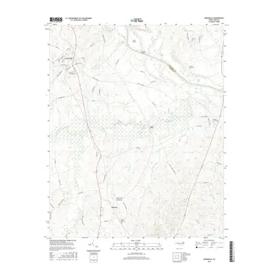
2016 Map of Ansonville
USGS Topo · Published 2016About this map
Ansonville serves as the primary hub of this landscape, situated near the western edge where residential streets like Maynard Ave and Thomasville Rd converge. The town's local history is anchored by the Bethlehem Cem and its proximity to the rural agricultural lands and timber stands that characterize this part of the North Carolina Piedmont. To the east, the Pee Dee River forms a significant natural boundary between Anson and Richmond counties, punctuated by river features such as Leak Island and Buzzard Island.
Find a feature on this map
70 named features on this map. Tap any name to fly to it.
Don’t see what you’re looking for? This feature index may not catch every label — zoom into the map to look around manually.
Map Details
Editions of this 2016 Ansonville Map
This is the sole edition of this map. No revisions or reprints were ever made.
Other maps of this area

1941 · Spartanburg
USGS Topo · 1:250,000

1942 · Troy
USGS Topo · 1:125,000

1942 · Rockingham
USGS Topo · 1:125,000

1953 · Florence
USGS Topo · 1:250,000

1953 · Raleigh
USGS Topo · 1:250,000

1953 · Spartanburg
USGS Topo · 1:250,000

1953 · Charlotte
USGS Topo · 1:250,000

1954 · Charlotte
USGS Topo · 1:250,000

1954 · Florence
USGS Topo · 1:250,000

1954 · Raleigh
USGS Topo · 1:250,000