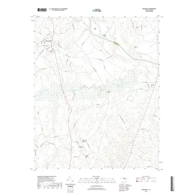
2019 Map of Ansonville
USGS Topo · Published 2019About this map
Ansonville serves as the primary hub for this portion of the Piedmont, where the town grid intersects with historical routes like Plank Rd and Polkton Rd. The landscape is defined by the broad curves of the Pee Dee River, which forms the boundary with Richmond County and encompasses features like Leak Island and Buzzard Island. Moving south toward Pinkston, the terrain is heavily dissected by drainage networks including Goulds Fork, Hurricane Cr, and Brown Creek. Genealogists will find a significant distribution of family and community burial grounds, such as Machine House Cem, Legrand Cem, and Bethlehem Cem. Aviation and infrastructure are represented by the Anson County Airport- Jeff Cloud Field and the Bennett Bridge crossing, illustrating how modern transportation patterns overlay the region's traditional rural character.
Find a feature on this map
72 named features on this map. Tap any name to fly to it.
Don’t see what you’re looking for? This feature index may not catch every label — zoom into the map to look around manually.
Map Details
Editions of this 2019 Ansonville Map
This is the sole edition of this map. No revisions or reprints were ever made.
Other maps of this area

1941 · Spartanburg
USGS Topo · 1:250,000

1942 · Troy
USGS Topo · 1:125,000

1942 · Rockingham
USGS Topo · 1:125,000

1953 · Florence
USGS Topo · 1:250,000

1953 · Raleigh
USGS Topo · 1:250,000

1953 · Spartanburg
USGS Topo · 1:250,000

1953 · Charlotte
USGS Topo · 1:250,000

1954 · Charlotte
USGS Topo · 1:250,000

1954 · Florence
USGS Topo · 1:250,000

1954 · Raleigh
USGS Topo · 1:250,000