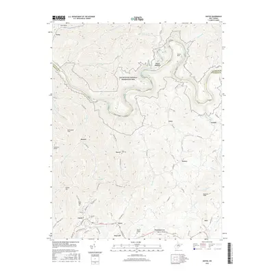
2016 Map of Ansted
USGS Topo · Published 2016About this map
Ansted anchors the southern portion of this landscape, where the historic Midland Trl and the Hawks Nest Rail-Trail follow the high ground and old transport corridors above the deep river valleys. The town serves as a gateway to the Gauley River National Recreation Area, where the Gauley River carves a dramatic path through the plateau, creating features like Koontz Bend and Peters Junction. Local genealogy is well-documented through several designated burial grounds, including the Westlake Cem near the town center and the Mount Chapel Cem further north.
Find a feature on this map
83 named features on this map. Tap any name to fly to it.
Don’t see what you’re looking for? This feature index may not catch every label — zoom into the map to look around manually.
Map Details
Editions of this 2016 Ansted Map
This is the sole edition of this map. No revisions or reprints were ever made.
Other maps of this area

1889 · Nicholas
USGS Topo · 1:125,000

1891 · Nicholas
USGS Topo · 1:125,000

1897 · Kanawha Falls
USGS Topo · 1:125,000

1900 · Kanawha Falls
USGS Topo · 1:125,000

1901 · Nicholas
USGS Topo · 1:125,000

1901 · Kanawha Falls
USGS Topo · 1:125,000

1908 · Clay
USGS Topo · 1:48,000

1908 · Fayetteville
USGS Topo · 1:48,000

1910 · Clay
USGS Topo · 1:62,500

1910 · Fayetteville
USGS Topo · 1:62,500