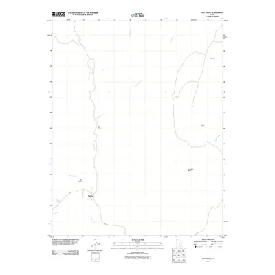
2011 Map of Ant Knoll
USGS Topo · Published 2011About this map
Eggnog serves as a central reference point in this arid high-desert landscape of Garfield County, where the topography is defined by high mesas and deep drainage incisions. The map traces the critical route of the Burr Trl as it winds past Butt Canyon and Ant Knoll, providing the primary corridor through this remote segment of southern Utah. Water management and resource location are paramount here, evidenced by the presence of Jackass Spring and Thompson Seep, which have historically supported livestock and travelers in an environment carved by Bullfrog Creek and its many tributaries. The industrial history of the region is anchored by the Stanton Mine situated to the east, while the broad, elevated expanse of Coal Bed Mesa dominates the southeastern quadrant, illustrating the distinct geological layering of the Colorado Plateau.
Find a feature on this map
14 named features on this map. Tap any name to fly to it.
Don’t see what you’re looking for? This feature index may not catch every label — zoom into the map to look around manually.
Map Details
Editions of this 2011 Ant Knoll Map
This is the sole edition of this map. No revisions or reprints were ever made.
Other maps of this area

1886 · Henry Mountains
USGS Topo · 1:250,000

1892 · Henry Mountains
USGS Topo · 1:250,000

1952 · Mt Pennell 1 SW
USGS Topo · 1:24,000

1952 · Mt Pennell 2 NE
USGS Topo · 1:24,000

1952 · Mt Hillers
USGS Topo · 1:62,500

1952 · Mt Pennell 1 NW
USGS Topo · 1:24,000

1953 · Mt Pennell
USGS Topo · 1:62,500

1953 · Mt Pennell 2 SE
USGS Topo · 1:24,000

1953 · Mt Pennell 3 NW
USGS Topo · 1:24,000

1953 · Mt Pennell 2 SW
USGS Topo · 1:24,000