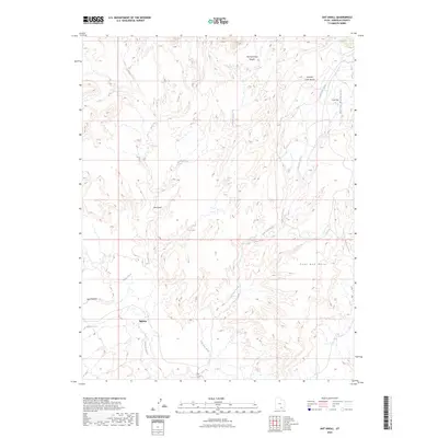
2023 Map of Ant Knoll
USGS Topo · Published 2023About this map
Eggnog sits in the southwestern reaches of this Garfield County landscape, a localized settlement point amidst a complex system of high-desert drainages and plateaus. The terrain is characterized by massive landforms like Coal Bed Mesa and the lower slopes of the Henry Mountains to the northeast. Water movement dictates the shape of the land here, with significant intermittent waterways such as Saleratus Wash and Bullfrog Creek carving through the area. These features, along with names like Ant Knoll and Cow Flat, reflect a region traditionally used for grazing and resource extraction. The presence of Jackass Spring and the rugged Pennell Creek Roughs highlights the fundamental importance of water sources in navigating and settling this portion of Utah. The grid of the Public Land Survey System overlaying these natural features illustrates the formal organization of this otherwise stark, open territory.
Find a feature on this map
15 named features on this map. Tap any name to fly to it.
Don’t see what you’re looking for? This feature index may not catch every label — zoom into the map to look around manually.
Map Details
Editions of this 2023 Ant Knoll Map
This is the sole edition of this map. No revisions or reprints were ever made.
Other maps of this area

1886 · Henry Mountains
USGS Topo · 1:250,000

1892 · Henry Mountains
USGS Topo · 1:250,000

1952 · Mt Pennell 1 SW
USGS Topo · 1:24,000

1952 · Mt Pennell 2 NE
USGS Topo · 1:24,000

1952 · Mt Hillers
USGS Topo · 1:62,500

1952 · Mt Pennell 1 NW
USGS Topo · 1:24,000

1953 · Mt Pennell
USGS Topo · 1:62,500

1953 · Mt Pennell 2 SE
USGS Topo · 1:24,000

1953 · Mt Pennell 3 NW
USGS Topo · 1:24,000

1953 · Mt Pennell 2 SW
USGS Topo · 1:24,000