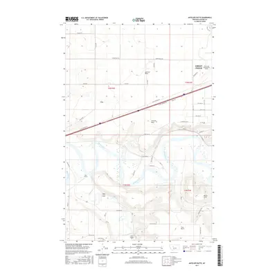
2017 Map of Antelope Butte
USGS Topo · Published 2017About this map
The Missouri River meanders across this Cascade County landscape, carving through a series of elevated plateaus including Sun River Bench and Truly Bench. Southwest of Great Falls, the settlement of Ulm sits near the interstate corridor, positioned between the river and the rising heights of Antelope Butte. The area is characterized by its aviation infrastructure, anchored by the Great Falls International Airport in the northeast and smaller facilities like Bair Airport and Smith Farms Airport to the south.
Find a feature on this map
51 named features on this map. Tap any name to fly to it.
Don’t see what you’re looking for? This feature index may not catch every label — zoom into the map to look around manually.
Map Details
Editions of this 2017 Antelope Butte Map
This is the sole edition of this map. No revisions or reprints were ever made.
Other maps of this area

1886 · Great Falls
USGS Topo · 1:250,000

1949 · Cascade
USGS Topo · 1:62,500

1949 · Great Falls
USGS Topo · 1:62,500

1949 · Vaughn
USGS Topo · 1:62,500

1951 · Great Falls
USGS Topo · 1:62,500

1951 · Cascade
USGS Topo · 1:62,500

1952 · Vaughn
USGS Topo · 1:62,500

1954 · Great Falls
USGS Topo · 1:250,000

1955 · Gore Hill
USGS Topo · 1:62,500

1957 · Great Falls
USGS Topo · 1:250,000