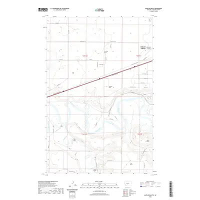
2020 Map of Antelope Butte
USGS Topo · Published 2020About this map
The Missouri River and Smith River define this segment of the Montana landscape southwest of Great Falls. This 2020 topographic study shows the settlement of Ulm positioned near the riverbend, where the land transitions to significant geological features like the Sun River Bench and Truly Bench. Aviation infrastructure is prominent in this corridor, evidenced by the expansive grounds of the Great Falls International Airport at the eastern edge and smaller landing strips such as Bair Airport and Smith Farms Airport to the south.
Find a feature on this map
50 named features on this map. Tap any name to fly to it.
Don’t see what you’re looking for? This feature index may not catch every label — zoom into the map to look around manually.
Map Details
Editions of this 2020 Antelope Butte Map
This is the sole edition of this map. No revisions or reprints were ever made.
Other maps of this area

1886 · Great Falls
USGS Topo · 1:250,000

1949 · Cascade
USGS Topo · 1:62,500

1949 · Great Falls
USGS Topo · 1:62,500

1949 · Vaughn
USGS Topo · 1:62,500

1951 · Great Falls
USGS Topo · 1:62,500

1951 · Cascade
USGS Topo · 1:62,500

1952 · Vaughn
USGS Topo · 1:62,500

1954 · Great Falls
USGS Topo · 1:250,000

1955 · Gore Hill
USGS Topo · 1:62,500

1957 · Great Falls
USGS Topo · 1:250,000