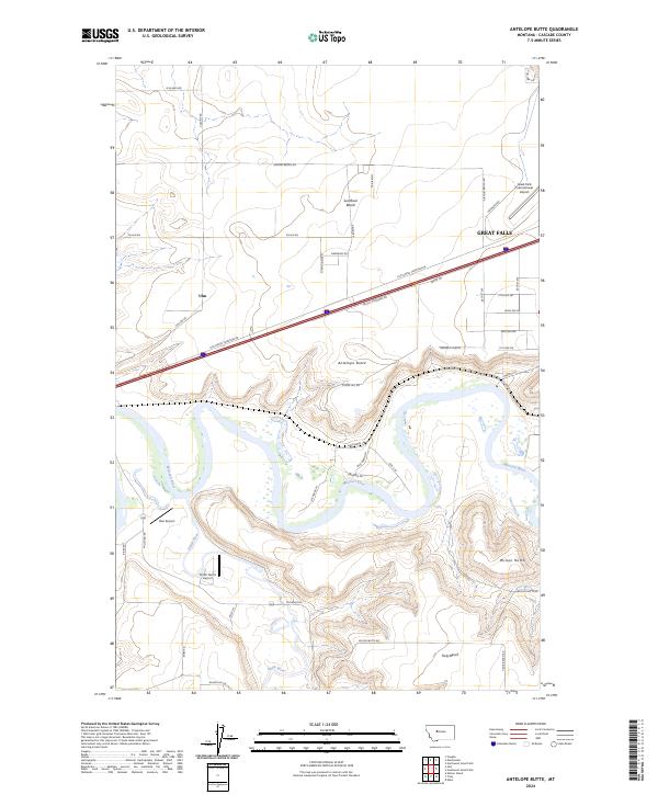
2024 Map of Antelope Butte
USGS Topo · Published 2024About this map
The Missouri River and its confluence with the Smith River anchor this landscape southwest of Great Falls. The terrain is defined by high plateau features like Sun River Bench and Truly Bench, while the distinct peaks of Antelope Butte and Wilson Butte rise above the surrounding plains. This modern 2024 survey captures the logistical footprint of the region, centered on the unincorporated community of Ulm and the western edge of the city. Aviation history is particularly visible here, with the sprawling Great Falls International Airport occupying the northeast corner, contrasted by smaller rural landing strips like Bair Airport and Smith Farms Airport. The map traces a complex network of frontage roads and trails, including Triview LN and Byrne TRL, that serve the ranching and residential land south of the Interstate corridor.
Find a feature on this map
50 named features on this map. Tap any name to fly to it.
Don’t see what you’re looking for? This feature index may not catch every label — zoom into the map to look around manually.
Map Details
Editions of this 2024 Antelope Butte Map
This is the sole edition of this map. No revisions or reprints were ever made.
Other maps of this area

1886 · Great Falls
USGS Topo · 1:250,000

1949 · Cascade
USGS Topo · 1:62,500

1949 · Great Falls
USGS Topo · 1:62,500

1949 · Vaughn
USGS Topo · 1:62,500

1951 · Great Falls
USGS Topo · 1:62,500

1951 · Cascade
USGS Topo · 1:62,500

1952 · Vaughn
USGS Topo · 1:62,500

1954 · Great Falls
USGS Topo · 1:250,000

1955 · Gore Hill
USGS Topo · 1:62,500

1957 · Great Falls
USGS Topo · 1:250,000