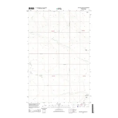
2014 Map of Antelope Coulee SW
USGS Topo · Published 2014About this map
The high plains of Toole County are defined by a network of drainage coulees and an organized grid of section roads that speak to the region's agricultural and energy-related infrastructure. Waterways such as W Fork Willow Cr and the namesake Antelope Coulee carve through the open landscape, while the southern reaches are marked by Dunkirk Coulee and its North Fork. The road network is particularly distinctive, featuring uniquely named local routes like Jap Evans Rd, Gumbo Joe Rd, and Compressor Rd, the latter likely reflecting the area's ties to natural gas or oil transport. This survey provides a clear view of the section lines and township boundaries, including t33n r1w and t32n r1e, which organize the remote territory into a legible productive landscape.
Find a feature on this map
17 named features on this map. Tap any name to fly to it.
Don’t see what you’re looking for? This feature index may not catch every label — zoom into the map to look around manually.
Map Details
Editions of this 2014 Antelope Coulee SW Map
This is the sole edition of this map. No revisions or reprints were ever made.
Other maps of this area

1920 · Conrad
USGS Topo · 1:125,000

1943 · Antelope Coulee
USGS Topo · 1:62,500

1943 · Shelby
USGS Topo · 1:62,500

1954 · Shelby
USGS Topo · 1:250,000

1958 · Shelby
USGS Topo · 1:250,000

1967 · Naismith
USGS Topo · 1:24,000

1967 · South Devon School
USGS Topo · 1:24,000

1967 · Dunkirk
USGS Topo · 1:24,000
1984 · Conrad
USGS Topo · 1:100,000

1984 · Sweet Grass Hills
USGS Topo · 1:100,000