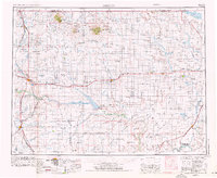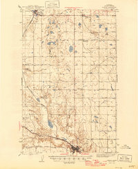
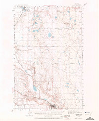
1943 Map of Shelby
USGS Topo · Published 1946About this map
The Great Northern railway anchors the development of Toole County in the mid-1940s, connecting the major hub of Shelby to northern outposts like Kevin and Virden. This area is defined by a ranching economy and the emergence of the oil industry, as seen in the settlement of Oilmont and numerous named family operations including Potter Ranch, Benjamin Ranch, and Wigand Ranch. The rural landscape is dotted with early educational landmarks, some already showing the shifting populations of the era, such as the Morton Sch (abandoned), alongside the active Aloe Sch and Prairie Dell Sch. Terrain features like the Dunkirk Coulee and the wide Alkali Flat southeast of the railroad illustrate the arid, challenging environment where early settlers established homesteads and the Morton Road and Mozer Road provided vital transit links between remote townships.
Find a feature on this map
25 named features on this map. Tap any name to fly to it.
Don’t see what you’re looking for? This feature index may not catch every label — zoom into the map to look around manually.
Map Details
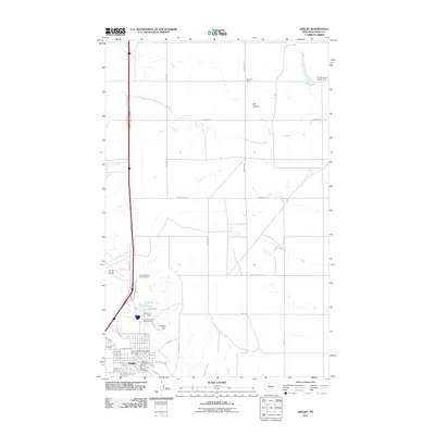
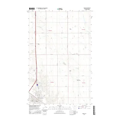
Editions of this 1943 Shelby Map
2 editions found
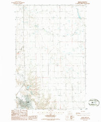
Historical Maps of Shelby Through Time
9 maps found