
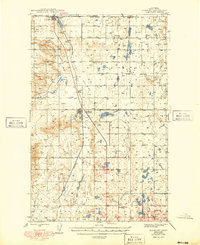
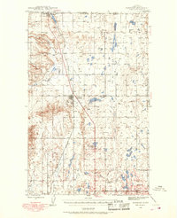
1939 Map of Sunburst
USGS Topo · Published 1941About this map
Canada United States border crossings and early oil field camps define this northern Montana landscape just before the outbreak of World War II. The Great Northern railroad line serves as a central artery, connecting the border town of Sweetgrass to the industrial centers of Sunburst and Kevin. The map reveals a specialized petroleum-based economy through several named company settlements, including Ohio Camp, Texas Pacific Camp, and California Camp, scattered across the high plains. Between these industrial nodes, the presence of the Willshaw Sch and Superior Sch indicates the sparse but established rural community. Large Lake Bed depressions and landmarks like Buckley and the Willshaw Flats characterize the terrain, while the international boundary with Alberta marks the northern limit of the survey.
Find a feature on this map
15 named features on this map. Tap any name to fly to it.
Don’t see what you’re looking for? This feature index may not catch every label — zoom into the map to look around manually.
Map Details
Editions of this 1939 Sunburst Map
3 editions found
Other maps of this area

1909 · Cut Bank
USGS Topo · 1:125,000

1912 · Cut Bank
USGS Topo · 1:125,000

1943 · Antelope Coulee
USGS Topo · 1:62,500

1943 · Shelby
USGS Topo · 1:62,500

1945 · West Butte
USGS Topo · 1:62,500

1954 · Shelby
USGS Topo · 1:250,000

1958 · Shelby
USGS Topo · 1:250,000

1960 · Cut Bank
USGS Topo · 1:250,000

1963 · Cut Bank
USGS Topo · 1:250,000

1964 · Cut Bank
USGS Topo · 1:250,000