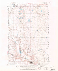
1943 Map of Shelby
USGS Topo · Published 1972About this map
Shelby serves as the focal point for this Toole County landscape during the 1940s, anchored by the Great Northern railroad which cuts diagonally through the prairie. The map reveals a region defined by scattered homesteading and early education, with rural schools like Aloe Sch and Prairie Dell Sch punctuating the vast distances between neighbors. A notable historical detail is the Morton Sch (abandoned) label, providing a specific record of local school consolidation or shift in population during this era.
Find a feature on this map
24 named features on this map. Tap any name to fly to it.
Don’t see what you’re looking for? This feature index may not catch every label — zoom into the map to look around manually.
Map Details
Editions of this 1943 Shelby Map
2 editions found
Other maps of this area

1909 · Cut Bank
USGS Topo · 1:125,000

1912 · Cut Bank
USGS Topo · 1:125,000

1920 · Dupuyer
USGS Topo · 1:125,000

1920 · Conrad
USGS Topo · 1:125,000

1934 · Valier
USGS Topo · 1:62,500

1937 · Valier
USGS Topo · 1:62,500

1939 · Sunburst
USGS Topo · 1:62,500

1943 · Antelope Coulee
USGS Topo · 1:62,500

1943 · Shelby
USGS Topo · 1:62,500

1945 · West Butte
USGS Topo · 1:62,500