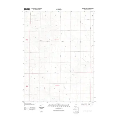
2013 Map of Antelope Creek East
USGS Topo · Published 2013About this map
Elba Cem sits along Co Road 24, serving as a central point of historical interest in this sparsely populated section of Washington County. This landscape is defined by the ephemeral drainages of Antelope Cr, Hell Cr, and Buck Cr, which carve shallow paths through the high plains. The area is organized by an exacting grid of section lines and county roads, such as Co Road X and Co Road 28, typical of the late twentieth and early twenty-first century agricultural development in eastern Colorado. This rectangular survey system underscores the transition from open range to a managed rural landscape, where transportation is dictated by numeric routes like Co Road 26 and Co Road AA rather than natural topography.
Find a feature on this map
20 named features on this map. Tap any name to fly to it.
Don’t see what you’re looking for? This feature index may not catch every label — zoom into the map to look around manually.
Map Details
Editions of this 2013 Antelope Creek East Map
This is the sole edition of this map. No revisions or reprints were ever made.
Other maps of this area

1954 · Limon
USGS Topo · 1:250,000

1954 · Sterling
USGS Topo · 1:250,000

1957 · Limon
USGS Topo · 1:250,000

1958 · Limon
USGS Topo · 1:250,000

1958 · Sterling
USGS Topo · 1:250,000

1973 · Antelope Creek East
USGS Topo · 1:24,000

1973 · Antelope Creek West
USGS Topo · 1:24,000

1973 · Dry Gulch
USGS Topo · 1:24,000

1973 · Rago
USGS Topo · 1:24,000

1973 · Antelope Creek SE
USGS Topo · 1:24,000