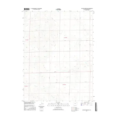
2016 Map of Antelope Creek East
USGS Topo · Published 2016About this map
Elba Cem sits as a lonely landmark within the high plains of Washington County, a quiet testament to the rural community of Elba. This 2016 survey illustrates a landscape dominated by a methodical grid of county roads, including Co RD 24 and Co RD W, which segment the rolling terrain into sections for ranching and agriculture. The drainage patterns of the eastern plains are clearly defined by the winding paths of Antelope Creek, Buck Cr, and Hell Cr, which cut through the open country. The map's administrative boundaries, such as those for t1s r53w and t2s r53w, reveal the enduring legacy of the Public Land Survey System in organizing the vast Colorado prairie into manageable parcels.
Find a feature on this map
18 named features on this map. Tap any name to fly to it.
Don’t see what you’re looking for? This feature index may not catch every label — zoom into the map to look around manually.
Map Details
Editions of this 2016 Antelope Creek East Map
This is the sole edition of this map. No revisions or reprints were ever made.
Other maps of this area

1954 · Limon
USGS Topo · 1:250,000

1954 · Sterling
USGS Topo · 1:250,000

1957 · Limon
USGS Topo · 1:250,000

1958 · Limon
USGS Topo · 1:250,000

1958 · Sterling
USGS Topo · 1:250,000

1973 · Antelope Creek East
USGS Topo · 1:24,000

1973 · Antelope Creek West
USGS Topo · 1:24,000

1973 · Dry Gulch
USGS Topo · 1:24,000

1973 · Rago
USGS Topo · 1:24,000

1973 · Antelope Creek SE
USGS Topo · 1:24,000